


This is the supplemental resource book for Exploring World Geography with maps and assigned readings.
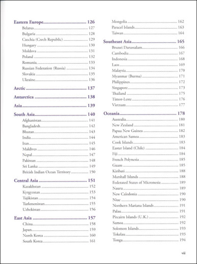
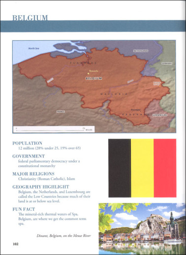
The Gazetteer compares to other Notgrass’ original source readers but the content is unsurprisingly more map oriented. Covering the world geographically by regions and continents and starting in the Middle East, there are regional/continental maps plus one page for each country in the world. The country pages feature full-color maps with physical features and capitals. They also include the country’s flag, population, style of government, major religions, an on-site photo, and both a geography highlight and “fun fact.” These map pages take up about two-thirds of the book. The remainder is original source material accompanied by historical maps, personal accounts, and excellent photos and graphics.


